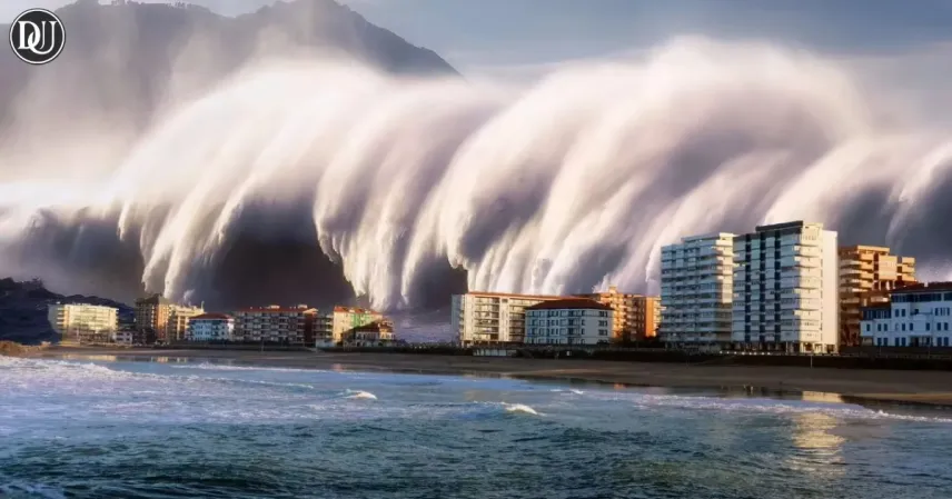
Scientists have uncovered new details about a colossal tsunami wave that struck Greenland’s Dickson Fjords, reaching a staggering height of 650 feet. This mega tsunami wave, one of the largest ever recorded, sent shockwaves worldwide and puzzled experts for years. Recent research now sheds light on how such a powerful natural disaster occurred and what it means for our understanding of tsunami waves and climate impact.
What Caused the Tsunami Wave in Greenland?
The mega tsunami wave in Dickson Fjords was triggered by a massive landslide, where a huge chunk of rock and ice broke off from the steep mountain cliffs surrounding the fjords. The sudden displacement of this enormous mass of material into the water created the towering tsunami wave.
This event was not only remarkable for its size but also for its potential to cause widespread damage. The geological features of the fjords — narrow, steep-sided inlets — amplified the impact of the wave, contributing to its incredible height.
Scientific Investigation Uncovers the Mystery
For years, the origin and scale of this tsunami wave baffled scientists. Using a combination of satellite imagery, underwater surveys, and geological sampling, researchers have pieced together the sequence of events that led to the mega tsunami wave.
Their findings reveal that the landslide was massive enough to displace billions of cubic feet of material, pushing water violently and rapidly, creating the giant wave. The research also emphasizes how climate change, causing increased glacial melting and destabilization of rock faces, may raise the risk of similar future events.
Implications of the Mega Tsunami Wave
Understanding this giant tsunami wave in Greenland offers critical insights into natural disaster risks in polar and mountainous regions. The event highlights the powerful effects of climate change on geological stability and coastal safety.
Scientists warn that similar mega tsunami waves could occur in other fjords and glacial regions around the world as ice continues to melt and terrain becomes more unstable.
Global Awareness and Preparedness
The discovery of this tsunami wave has prompted calls for better monitoring of vulnerable regions prone to landslides and tsunamis. Improved early warning systems and geological surveys are necessary to protect local communities and reduce future disaster risks.
Public awareness about the potential danger posed by mega tsunami waves is growing, encouraging policymakers and scientists to collaborate on climate resilience strategies.