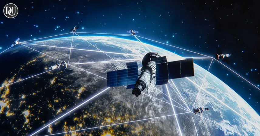
In today’s high-speed information era, satellite images have become a powerful tool in understanding both international conflict and local disasters. These space-captured visuals are helping reveal the true extent of situations on the ground—beyond what is officially shared. Two recent events—one in Israel and the other in Chennai—showcase how satellite images are changing the narrative across the world.
In Israel, satellite imagery has revealed damage that was not publicly acknowledged, while in India’s Chennai, the same technology is being used to prevent urban flooding. This shows how a single tool can serve both war zones and civic infrastructure, exposing hidden truths and aiding timely interventions.
Israel Under Fire: The Hidden Impact of Iran’s Missile Strike
The Middle East has once again found itself in global headlines, following Iran’s missile strike targeting Israel. Initial reports by the Israeli government claimed minimal damage. But satellite images released shortly after the incident have painted a very different picture—showing that five military bases were directly impacted, with visible structural damage.
These satellite images clearly display large craters, charred terrain, and damaged military equipment. The affected areas include runways and aircraft shelters, some of which appear to be completely destroyed. This is in stark contrast to the government's statements downplaying the seriousness of the attack.
Experts believe the reluctance to disclose the full extent of the damage could be due to national security concerns or a desire to maintain public morale. However, with satellite imagery now readily available through both governmental and private sources, hiding such incidents is increasingly difficult.
Transparency Challenged by Technology
The global reaction to this discrepancy has been swift. International analysts and defense agencies have used these images to assess not just the physical destruction but also the implications of such a cover-up. For allies of Israel, especially the United States, this raises concerns about intelligence sharing and operational transparency.
Military experts point out that with the increasing availability of commercial satellite services, any major event can be verified independently. The political landscape is being altered by this ability to confirm or challenge narratives based on undeniable visual evidence.
Strategic Lessons from Above
This revelation may encourage other nations to invest more heavily in satellite technology—not only for surveillance but also for real-time strategic decision-making. Artificial intelligence tools can now process and analyze images within minutes, offering governments and defense organizations a new edge in understanding rapidly developing situations.
The growing role of satellite images in military and diplomatic scenarios underscores the need for accountability and openness in a world where the truth can be accessed from orbit.
Chennai’s Approach to Water Management
While satellite images are exposing the aftermath of conflict in the Middle East, they are also playing a peaceful yet equally vital role in southern India. Chennai, a city frequently hit by floods, has turned to satellite monitoring to prevent disaster before it strikes.
This year, the Ambattur Tank—one of the city’s largest reservoirs—has been closely observed through satellite data. Following heavy rainfall during the monsoon season, local officials are using these images to monitor water levels and assess overflow risks in real-time.
The result is a more coordinated and proactive response. With accurate information about tank capacity and water spread, city authorities can redirect drainage, alert nearby neighborhoods, and take preventive measures far more efficiently than in the past.
How Satellite Images Are Changing City Governance
This approach represents a significant upgrade from earlier flood-management systems, which often relied on delayed field reports or outdated infrastructure. Now, Chennai’s disaster management teams receive near-instant data updates that allow them to act before flooding occurs.
For residents, this means timely warnings, better preparedness, and reduced damage during extreme weather events. Public dashboards now display this data in easy-to-understand formats, helping communities understand risks and take necessary precautions.
Other Indian cities are watching Chennai’s efforts closely. The success of integrating satellite monitoring with civic operations could serve as a template for handling urban infrastructure in the age of climate change.
From Conflict Zones to City Streets
These two very different uses of satellite images highlight how this technology has evolved. In Israel, it’s being used to uncover the real impact of an international missile attack. In Chennai, it’s preventing a local environmental crisis. Yet, in both cases, the common factor is accuracy and real-time visibility.
As the planet faces more frequent natural disasters and political conflicts, satellite technology is proving essential. It brings not just visibility, but also accountability, planning, and strategic foresight.
Looking Ahead
The growing reliance on satellite images reflects a broader shift toward data-backed decision-making. Whether governments want to hide military losses or forecast flood risks, satellites make it difficult to remain in the dark.
Their ability to reveal the unfiltered truth is now challenging traditional power structures and giving rise to a more informed global society. These developments suggest that in the future, both peace and war will be watched, managed, and understood better—not from the ground, but from the sky.